Since we had to drive to Arkansas to score that awesome bike off of Craigs List, we would have been foolish to forgo the opportunity to check Arkansas off our "List of States We Have Ridden In." The weather almost didn't cooperate with us, but by mid afternoon it had actually cleared off to blue sky. We are also history buffs, especially Civil War, and when the road to Eureka Springs where we had to go to buy the bike took us right past the Pea Ridge National Military Park we decided to stop on the way back to see the sights. We did not necessarily intend to ride our bikes there, as the plan had been to ride a trail in Bentonville that we had Googled. However, once we paid our entrance fee at the visitors center ($5 per person or $10 per vehicle), we discovered a big map of the park on the wall that indicated bike trails. When we queried the ranger about it, she told us that the trail is not paved and with that morning's torrential rains, it would likely be a mud fest, but that we were welcome to ride on the paved vehicular road that circles the park, I believe it's a total of about 7 miles. We simply had to make sure we were riding in the direction the traffic flows, as the loops is basically a one-way route through the park. After our harrowing morning with the weather and her four hours of sleep the night before, we decided we weren't actually up to riding 7 miles of somewhat mountainous terrain this day. So, we opted to drive the 7 mile tour and get our history fix, and then got the bikes out and rode on the first mile or so of the route that allowed 2-way traffic, enabling us to turn around and come back the way we had come while still obeying the rules of staying with the flow of traffic. While we taking our vehicular tour, we did encounter a couple of cyclists ( the same guys, twice, actually), so they apparently did the loop at least twice. Go them!!! :) And when we were done with our short out and back mile on our bikes, we encountered some other people getting their bikes out of their vehicles, too, so apparently it is used for cycling. I would recommend it, especially if history is your thing, too.
~~H
Yes I hope we get a chance to return and ride the entire park road someday. It was an enjoyable trip into our Country's history! I always enjoy Civil War sites!
S~~
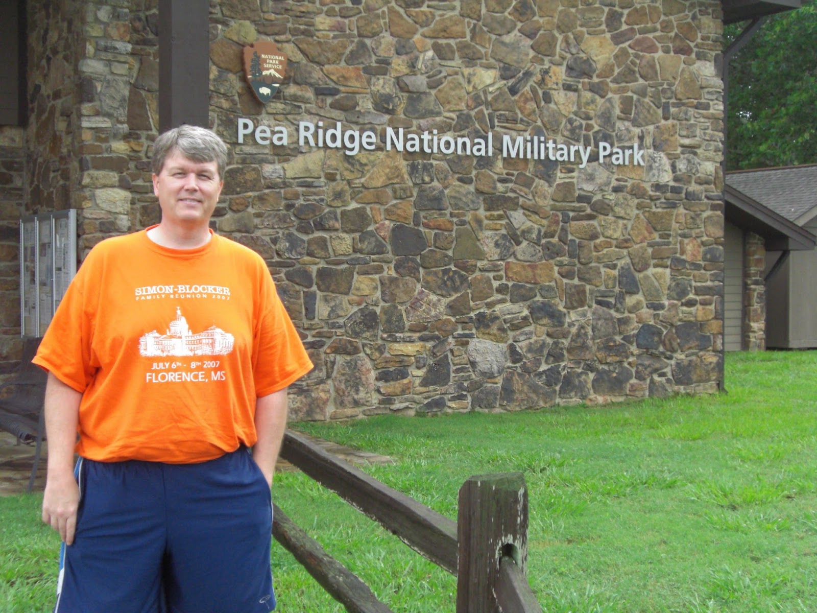
Standing outside the Museum
Looking down over the Valley from the Mountain Bluff
Elkhorn Tavern - Sits at the Intersection of two Military Roads Which lead to the battle to control those Roads
Note the Elk Horns on the Roof. That is how the tavern got its name. It was used as a Hospital during battle.
Tuscaloosa road which heads south. Telegraph road crosses in front going from East to West
Confederate Memorial for two Generals lost during the Battle. Gn James McIntosh, and Gn Benjamin McCullough. Placed in 1887.
Reunited Soldiery Monument to all soldiers lost on both sides during the Battle. Placed in 1889.
Map of the Park
The blue circle is the route of the park, which all could be ridden by bike if you choose. The dotted red line that cuts across the middle above the words Pea Ridge is the unpaved "bike trail" that the ranger suggested we not attempt on the day we were there due to mud. We believe it is noted as the bike trail to cut off the mountainous part of the tour that loops on up above it.


No comments:
Post a Comment