
In Late February and early March I took a trip with my Daughter to visit some colleges in the Pacific Northwest. For those of you keeping track on our Map of states we have ridden in, I will be adding Washington and British Columbia! Will also be posting up about my ride in Bellingham Washington.
On my final day on the trip to the pacific northwest I drove up to Vancouver for the day and rented a bike near Stanley Park((Stanley Park Map Guide) at Spokes Bicycle Rental(http://www.spokesbicyclerentals.com/).
This was the start of the beautiful trail that circles the park along the water.

This is a map of Stanley Park from Google Maps highlighting the Trails throughout the Park. I rode the trail that goes around the Outer edge of the Park along the water, a ride of just under 8 miles. I then stopped and recharged my phone battery because I wanted to ride across the Lions Gate Bridge that you see in the picture below going over the narrow portion of Vancouver Harbour and over the trail I had ridden. I also indicated with a Star the location of the Spokes Bicycle Rental where I got my bike.


Now I am going to start with pictures working my way around the park. It starts with a look back towards downtown Vancouver. The old building you see is the HMCS Discovery, part of the Royal Canadian Navy Reserve((http://en.wikipedia.org/wiki/HMCS_Discovery)

Below is a Statue of an Olympic Runner. The strange looking building you see on the left across the water is Canada Place(http://en.wikipedia.org/wiki/Canada_Place) I also found the floating Chevron station interesting!


Here I am nearing the little tip on the western most portion of the park looking across the harbour to North Vancouver.

Here I am looking at a bicycling tour group learning about the Brockton Point Lighthouse(http://en.wikipedia.org/wiki/Brockton_Point)

Here was my first glimpse of the Lion's Gate bridge as I circled around on the trail headed back inland from the Brockton Point. The trail continues to wind along the water. Forgot to mention that they have both a bicycling lane and a walking lane clearly marked which was really nice.

This is a picture of one of the areas where the Walkers and Bicycle lanes merged. The sign you see up there was telling you to dismount your bicycle and walk in that area for safety.

As you can see I am now approaching the portion of the trail that goes under the Lion's Gate Bridge. You can see here where the bike lane is on the left and the walker's lane was on the right. Nice picture looking across the Harbour to the North with the Mountains behind! The views on this ride were breathtaking!

Here I am looking back towards Brockton Point as I am working my way closer to going under the bridge.

Here I am under the Lion's Gate Bridge looking over towards North Vancouver. Little did I know that the next month in our Bicycle Ride an Seek group that I would need an under a bridge shot!

Trail narrows as you approach the northeastern corner of the park. You can see the the trail still remains divided between a walking and riding lane.

Looking off to the west towards open water. You can see some ships out there.

Returning back to civilization on the western side of the peninsula. Looking to the south.

More breathtaking views!

Nearing the end of riding along the water. Looking back to the north towards North Vancouver across the inlet.

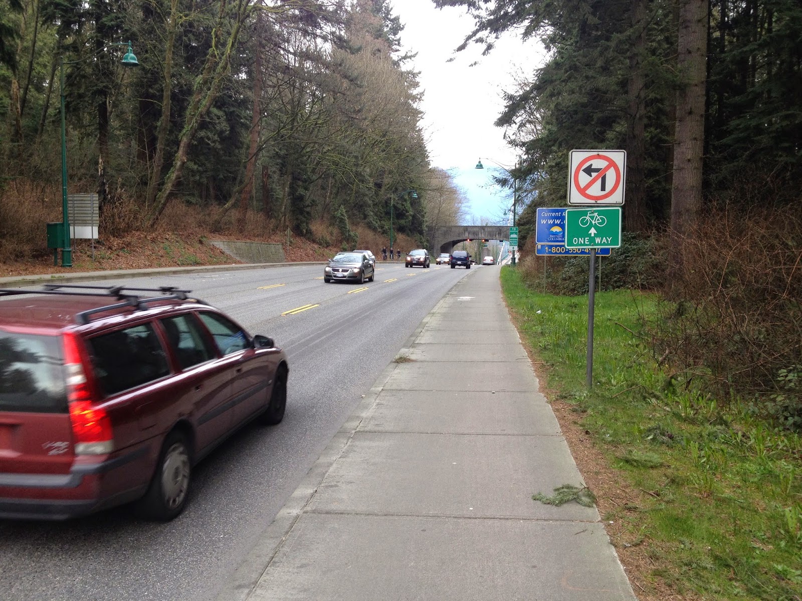
Back in civilization riding back across the peninsula to the center of the park.

Okay now I am headed up the Stanley park causeway towards the Lion's Gate Bridge!
Crossing the Bridge going north.

Honey its a long ways down to the water!

View back across the park towards Vancouver was spectacular! You can see the trail I rode along earlier down below.

More spectacular views towards North Vancouver.

Here I returning across the bridge heading south.

View off to the West from the Bridge. You can see the trail along the water there on the other side from the bridge.

Looking West from the Bridge towards North Vancouver

Traffic on the bridge is controlled by lights. They switch the number of lanes going either direction with the lights.

This is how I concluded my ride as I returned to the edge of the park. Being welcomed to Beautiful Vancouver! I ended up using this picture in our Bicycle Ride and Seek group from facebook because I needed a picture with a Welcome sign! Beauty Eh!

Create Maps
or Search for a route
from millions at MapMyRide

Speaking of Hockey my reason for sticking around the extra day was to see my beloved St Louis Blues play the Vancouver Canucks.

Really cool National Anthem before the game. When an American team plays a Canadian team your hear both teams anthem.


After my ride I had to go find a Tim Horton's for dinner since I constantly see ads for them when I am watching Hockey games.
Speaking of Hockey my reason for sticking around the extra day was to see my beloved St Louis Blues play the Vancouver Canucks.
Really cool National Anthem before the game. When an American team plays a Canadian team your hear both teams anthem.
It was an awesome game even though the Blues lost in overtime 6 to 5. They stormed back in the third to tie the game. Most exciting game I have attended in a long time!
No comments:
Post a Comment